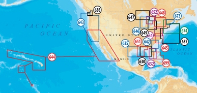
The most advanced technology and best imaging available in multi-dimensional
charts now provide. With 3D View enhanced bottom contour profiles and
high-resolution photo overlay. With enhanced bottom contour profiles and
high-resolution photo overlay. Panoramic pictures of harbors, marinas, ports and
passes in full-view XGA. Access detailed information, including phone numbers,
for services and points-of-interest available near port. Access tidal heights,
flow speed and direction, for today’s fishing trip or next week’s cruise down
the coast.