|
Details: |
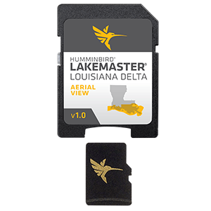
LakeMaster Aerial Satellite View - Louisiana Delta
Humminbird® LakeMaster® now offers high resolution aerial photography of the Louisiana Delta on one micro card (with SD adaptor). Always know where you are with real life aerial views of shorelines, waterways, landmarks, obstructions, roads, marinas, canals, and channels. Also includes nav aids, lake names, points of interest and more!
|
|
Did you Know?
ALL products we sell are factory new and come with the full Manufacturers Warranty! |
|
|
|
Related products
Humminbird LakeMaster Aerial Satellite View - Louisiana Delta
|
|
Humminbird LakeMaster Aerial Satellite View - Louisiana Delta - Humminbird Lakemaster Charts
|